Merweville — Beaufort West
- Established
- 1897
- Elevation
- 735m
- From N1
- ± 40km North
- Economy
- Sheep & Mohair
Small town, big heart
A historic 1897 Karoo gem offering a majestic sandstone church, vast farming landscapes, and deeply welcoming people.
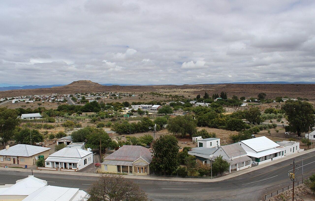
Merweville — Beaufort West
Merweville was established in 1897 on the farm Kruidfontein to serve as a parish center for the local farming community. The settlement was named after Reverend Pieter van der Merwe, who served as the Dutch Reformed Church minister in Beaufort West from 1896 to 1904 and advocated for the creation of the new congregation. The Dutch Reformed parish of Merweville was officially separated from the Beaufort West parish in 1904, the same year the village was formally proclaimed.
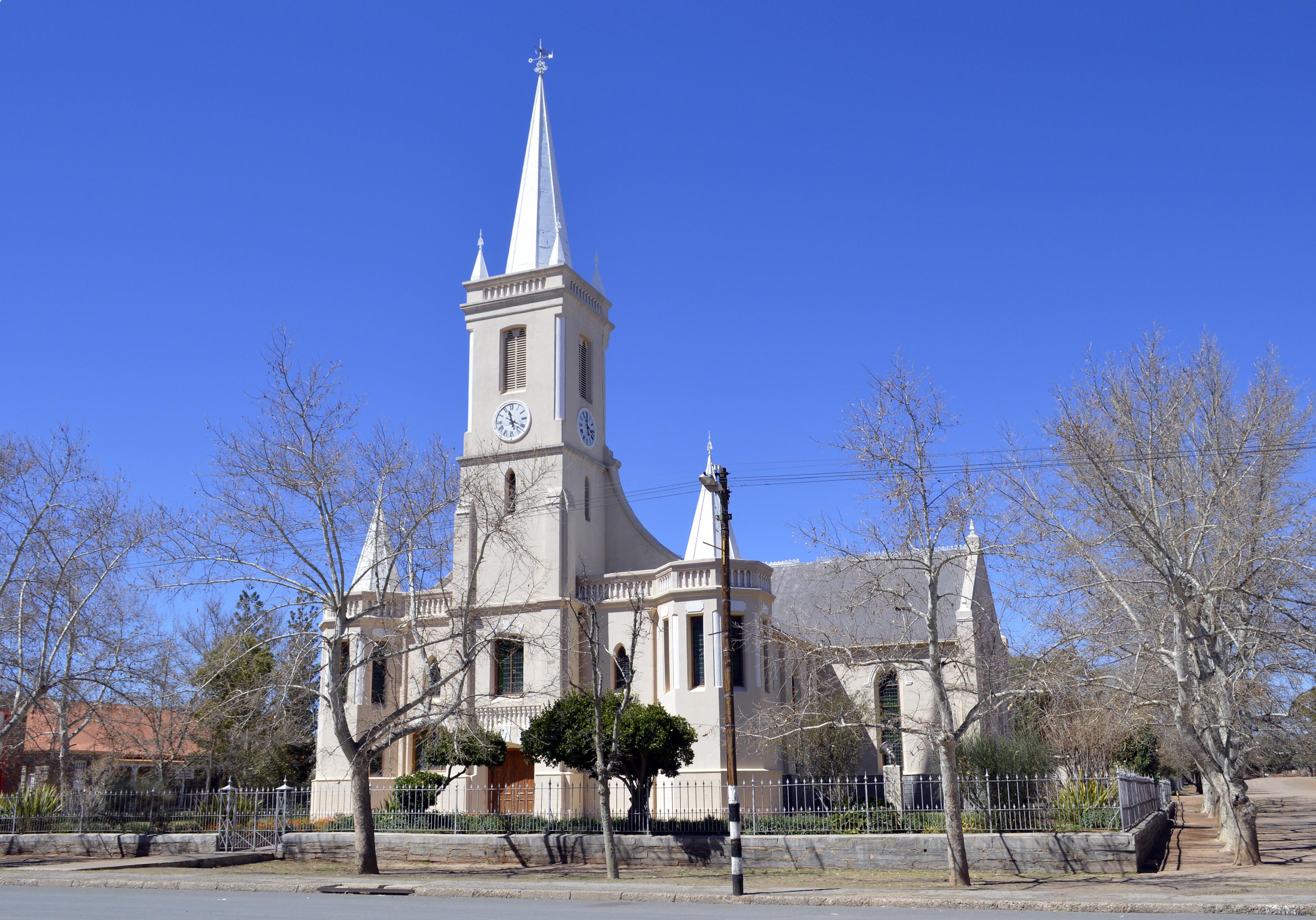
Construction of the prominent Dutch Reformed church building began in 1913 and was completed in 1914. Built from local sandstone, the church was designed by architect Wynand Louw and constructed under the supervision of builder John Thomas Cooper. During the Anglo-Boer War (1899–1902), British forces established a presence in the area, and a stone blockhouse from this period remains on the outskirts of the town. The town received municipal status in 1921, which it maintained until administrative reorganizations integrated it into larger local government structures.
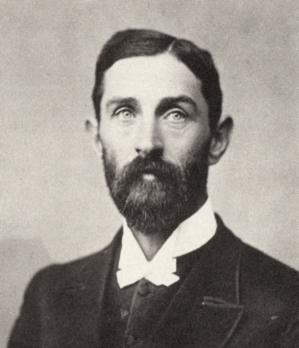
Reverend Pieter van der Merwe
The local economy is centered on extensive livestock farming, particularly Merino and Dorper sheep for wool and mutton production, alongside Angora goats for mohair. The arid climate of the central Karoo limits crop cultivation, restricting agricultural activity to livestock grazing on natural shrubland. Groundwater, accessed via boreholes and windpumps, is the primary water source for both domestic use and agricultural watering.
The town is located approximately 40 kilometres north of the N1 highway and is accessed via unpaved roads from Prince Albert Road or Beaufort West. This geographic isolation has limited industrial development, leaving public services, local retail, and agricultural support services as the primary employers. Tourism has expanded as a secondary economic contributor, with several farms in the district operating as guest houses and farm stays.
The Dutch Reformed Church, completed in 1914, is the central architectural landmark of the town, featuring a sandstone exterior and a historic pipe organ. The annual church bazaar, held in May, serves as a major regional event that draws visitors and former residents to the town.
The surrounding Karoo landscape is used for recreational activities such as gravel-road cycling, hiking, and stargazing, the latter aided by the low levels of light pollution in the region. Historic graves from the Anglo-Boer War are located in the local cemetery, and a stone blockhouse from the same conflict stands on a hill overlooking the town.
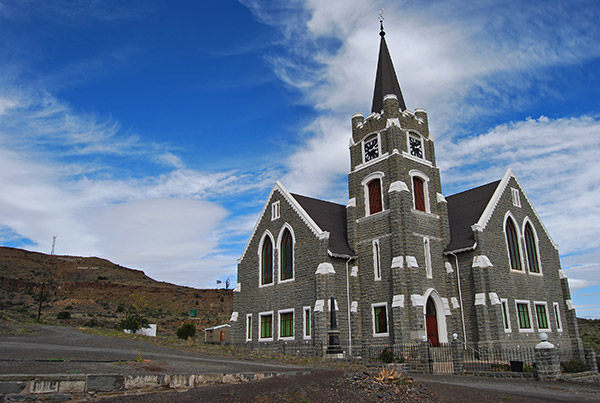
Dutch Reform Church
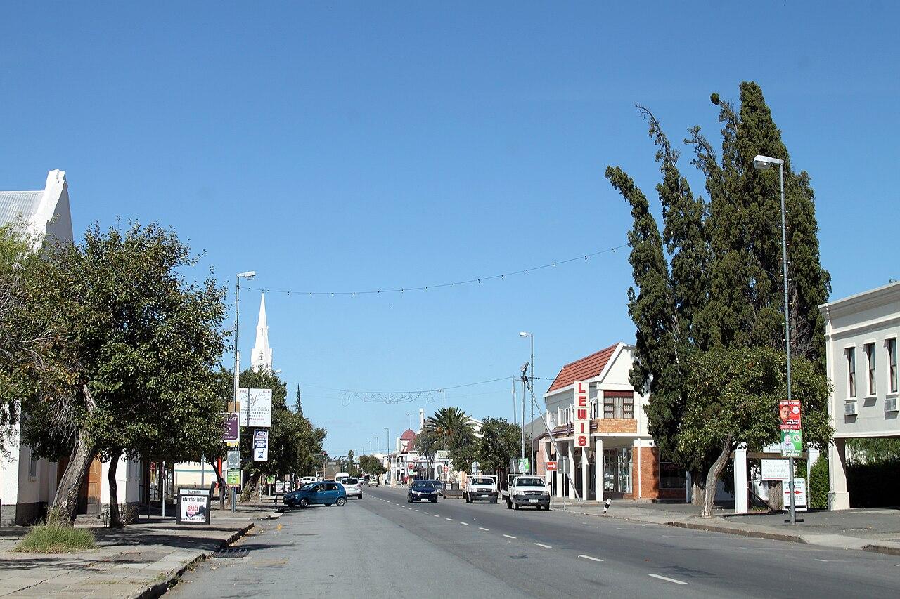 Beaufort West
An administrative and transport hub in the Great Karoo, established in 1818 and recognized as South Africa's oldest municipality.
 Murraysburg
A Karoo agricultural town established in 1855 on the farm Toorfontein along the Buffels River.
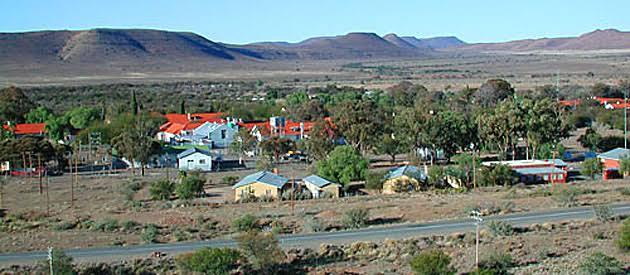 Nelspoort
A Karoo settlement established around a historic tuberculosis sanatorium, notable for its psychiatric hospital and ancient rock engravings.